Our stay on Anglesey - South Stack on day one.
We had booked a week on the island of Anglesey having first visited with Gra and Jane in 2012 and planning to return one day and explore further. This was our time! The journey was longer than anticipated but we arrived safely to begin our weeks holiday.
Historically, Anglesey has long been associated with the druids. The Roman conquest of Anglesey began in AD 60 when the Roman general Gaius Suetonius Paulinus, determined to break the power of the druids, attacked the island using his amphibious Batavian contingent as a surprise vanguard assault and then destroying the shrine and the nemeta (sacred groves). News of Boudica's revolt reached him just after his victory, causing him to withdraw his army before consolidating his conquest. The island was finally brought into the Roman Empire by Gnaeus Julius Agricola, the Roman governor of Britain, in AD 78. During the Roman occupation, the area was notable for the mining of copper, something which continued for hundreds of years after the Romans left.


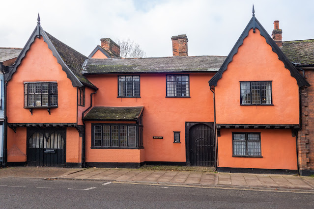
This was our cottage for the week with the owner`s in the lefthand background. Turning around, the view was stunning, and we had only to sit on our couch to see this beautifull view. The standards of fitting and cleanliness were outstanding, and the owners really great people.
Anglesey is known for its wind and rain, but we were fortunate in that the last day was our only really wet one.
We decided to travel across the island on our first day to visit South Stack.

South Stack lighthouse
Although the lighthouse’s construction was completed in 1809, it was first envisaged in 1665, when a petition for a patent to build a lighthouse on the spot was presented to Charles II. The patent wasn’t immediately granted though, and not until the 9th of February, 1809, did the first light appears to mark this rocky little island out as the lighthouse’s setting. Not until 1828, eight years after the lighthouse was finished, was a bridge added!
Trinity House employee, Daniel Alexander, was the main surveyor and architect. Originally he had it fitted with Argand oil lamps and reflectors. Yet, in about 1840, a small railtrack was installed in order that a lantern, with an additional light, could be lowered down the cliff, to sea level, when fog had concealed the main beam above.
In the mid 1870s the lighthouse’s lantern and lighting apparatus were replaced by newer machinery. Then, in 1909 (100 years after its construction) an early form of incandescent light was installed. This was replaced in 1927 by a more modern form of incandescent ‘mantle burner’.
The lighthouse was properly electrified in 1938. It wasn’t until 1983 that the lighthouse was automated, meaning that the last lighthouse keepers were withdrawn from the site. A necessary, yet sombre day. From then on the lighthouse was, and still is, monitored and controlled automatically, from Trinity House’s Planning Centre in Harwich, Essex.
Nowadays the islet, separated from Holy Island by 30 metres of often, turbulent seas and treacherous rocks, is reachable via a footbridge…oh and the 400 steps you need to climb down to get to there! However, this was not always the case. The coastline in this area, from the breakwater in Holyhead, around to the south-western shore, is made up of large granite cliffs, with sheer drops of up to 60 metres, and fierce tide races below.
In 1983 the existing footbridge, sadly, had to be closed to the public, due to safety reasons. However, in 1998 a new aluminium bridge was built, and once again the island was opened to the public. This is the bridge we can all still cross today.
Until 1828, before the footbridge was added, the only means of crossing the deep-water channel to the island was via a wicker basket, suspended on a hempen cable! Yes, they had to brave the swirling seas below them in nothing more than a hamper-like container on a rope.
In 1859, during the horrendous storm that wrecked the ‘Royal Charter’ off Moelfre (some say it should be classed as a hurricane), one of the keepers was fatally hit on the head by a falling rock as he came on duty. Many of the keepers lived here with their families.

Irish ferry crosses the top of South Stack

Elin's Tower is a Victorian stone tower on Holy Island, located around 2.5 miles (4.0 km) west of Holyhead. The castellated folly, which was originally used as a summer house, was built between 1820 and 1850 for the notable Stanley family from Penrhos. It is named after Elin (anglicised as "Ellen"), the Welsh wife of the 19th-century politician William Owen Stanley.
The building near South Stack was used during both the First and Second World Wars as a coastal observation tower. However, it was abandoned and fell derelict. The restored tower is used as an RSPB information centre, shop and café for the nature reserve in which it is situated, and affords a good view of South Stack and its lighthouse. In 2007, the tower was damaged by vandals who used it for a drunken party.

With the magnificent granite cliffs in the area, this is a haven for seabirds by the hundred.


There appear to be many birds on South Stack, this being a Wheatear.

Also in abundance, many wild plants. This a clump of Thrift.
After a great day wandering about to see what we could see, a shower hurried us back to the car and the journey home. We have been here, before but it was well worth a revisit.


Comments