Hardknott Pass & Eskdale
Tuesday we were heading for Eskdale to do some walks which were listed as `reasonable easy`. The obvious route, which looked to be up a very steep road not far from our holiday cottage, was abandoned for a slightly longer route - mistake!


Rosey drove and the first part was narrow but very pretty including a stop we made at an area called Tongue House. The views were stunning and there were bluebells everywhere.

Birk`s Bridge Picnic spot

Moving on we stopped by the river Dudden at a bridge called Birks bridge - a very pretty picnic site as well. In the background was Dunnerdale forest.

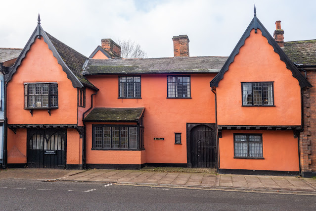
Motorcyclist about to go `over the edge`

A few mile further on we turned left onto what I thought was a larger road - oh dear!! We were on Hardknott Pass. To quote Wikipedia :
A single track road highway runs between Eskdale in the west to the edge of the neighbouring Wrynose Pass in the east. On the western side is Harter Fell and the remains of Hardknott Roman Fort (200 metres (660 ft) above sea level).
The Hardknott Pass stands at a maximum elevation of 393 m (1,289 ft), and descends steeply at a gradient of 30% (1 in 3) into the Duddon Valley.
The challenging 1 in 3 gradients make the route popular with cyclists. It is part of the annual Fred Whitton Challenge, a 112-mile ride around the Lake District
The pass is described as one of the most challenging roads in Britain. A series of hairpin bends make visibility difficult in various places.
……. and Rosey drove right through it - I was well impressed. Frankly it was an amazing experience. The photo does not show it very well at all, but on the right is the road which disappears left, and then you can just see a thin line of the road again, far below.
So we arrived at Eskdale, or more precisely Dalegarth Station for our parking spot and a well earned coffee. (We needed it!)
The walk we had picked was only two miles but was beautiful and followed the River Esk. The Esk can be spectacular after the rain but unfortunately (depending if you are on holiday) it has been a very dry period.
On the walk we walked along Anne’s walk, passed Stanley Gill Beck, visited St Catherine's church and admired Hartley Cragg and finished along Parsons Passage (stop smirking) and so back to the start for lunch.


I don`t think I would have been standing here when the river was flooded to this marker in 1962. The stone marker is on the top of the bridge near the figure in red.


Every where was yellow with great clouds.


St Catherine's Church, Boot
A church has been on the site since the 6th century. Who built the chapel, and when, is unknown. there is, however, a strong tradition linking it with the loss of the white ship in 1120, on St. Catherine's day.
The River Esk is easily crossed at Saint Catherine's and there are old stepping stones still used by those coming to Church and those walking from The King George up to Doctor Bridge - one of the best riverside walks in the area.
The position of this Church is determined by both the presence of the Holy Well and the Stepping Stones - it is very ancient. Fortunately the Victorians did not spoil its simplicity when they rebuilt it - a barn, beside a river, under the mountains where the Christian God has been worshipped by generations of valley people and their visitors.


All the stained glass dates from between 1889 and 1896.

Parsons Passage (the mind boggles) I guess the pathway the parson used to get to the church
In 1445, the people of Eskdale petitioned the Pope, complaining of the hardships of the journey to St. Bees for baptism, burials and the sacraments. In the 10 mile journey, they said, there were broad waters, mountains and streams which were often in flood. The petition was referred to the Abbot of Calder Abbey to deal with as he thought fit by the Holy See. He was instructed, if the facts were true, to erect, i.e. promote, the chapel to a parish church, with burial ground, font, bell-tower and other parochial insignia, after due compensation for loss of revenue had been paid to the mother church at St. Bees.
We then decided to take a train journey - on a small steam train! This line at Dalegarth railway station is the easterly terminus of the 15" gauge Ravenglass & Eskdale Railway in Cumbria. We went both ways, taking about 40 min each way. There on a diesel engine and returned on a steam. It was brilliant.


The original Ravenglass and Eskdale Railway was a 3 ft (914 mm) line opened on 24 May 1875 to transport hematite iron ore from mines around Boot to the Furness Railway standard gauge line at Ravenglass. In 1915 Wenman Joseph Bassett-Lowke and Robert Proctor-Mitchell, two model makers, converted the line to the 15 in (381 mm) gauge that it is today. The first train operated over the re gauged line on August 28, 1915. By 1917, the entire line had been converted and trains were running along the whole length.


Comments